
A closed-canopy forest looks, from above, like a seamless green carpet. From a plane or from orbit, a camera sees only the crowns of the tallest trees: everything happening underneath —the understorey, the trunks, the soil, the gaps— stays out of the picture. To know how much timber a forest holds, how much carbon it stores, or whether the ground under the pines is a slope or a ravine, looking is not enough. You have to measure distances. That is what a lidar does: a radar that emits light instead of microwaves.
The idea is as old as an echo, but with a far finer stopwatch. An emitter fires a laser pulse a few nanoseconds long; the pulse travels at the speed of light, bounces off the first thing it meets and comes back. The sensor measures the round-trip time and turns it into distance: if the light takes 6.7 microseconds to return, the obstacle is one kilometre away. Multiplied by tens of thousands of pulses per second and by the exact position of the aircraft or satellite, the result is not an image but a point cloud with three-dimensional coordinates for every surface the beam touched.
One pulse, several echoes
Unlike a weather radar or a simple altimeter, an airborne lidar does not settle for the first return. The pulse has a finite duration and broadens as it passes through vegetation: part of it bounces off the upper leaves, part slips between branches, part hits a trunk and a final fraction reaches the ground. The receiver digitises that intensity curve —the waveform— with one-nanosecond sampling and extracts several echoes per pulse, each with its own distance and relative strength.
That detail is what separates ground from canopy. The last return builds a digital terrain model, even under dense cover; the first builds a surface model that includes crowns and buildings. The difference between the two is vegetation height, and from there come metrics a field inventory would take weeks to gather on foot: dominant height, canopy cover fraction, stem density, vertical distribution of foliage.
From counting echoes to counting photons
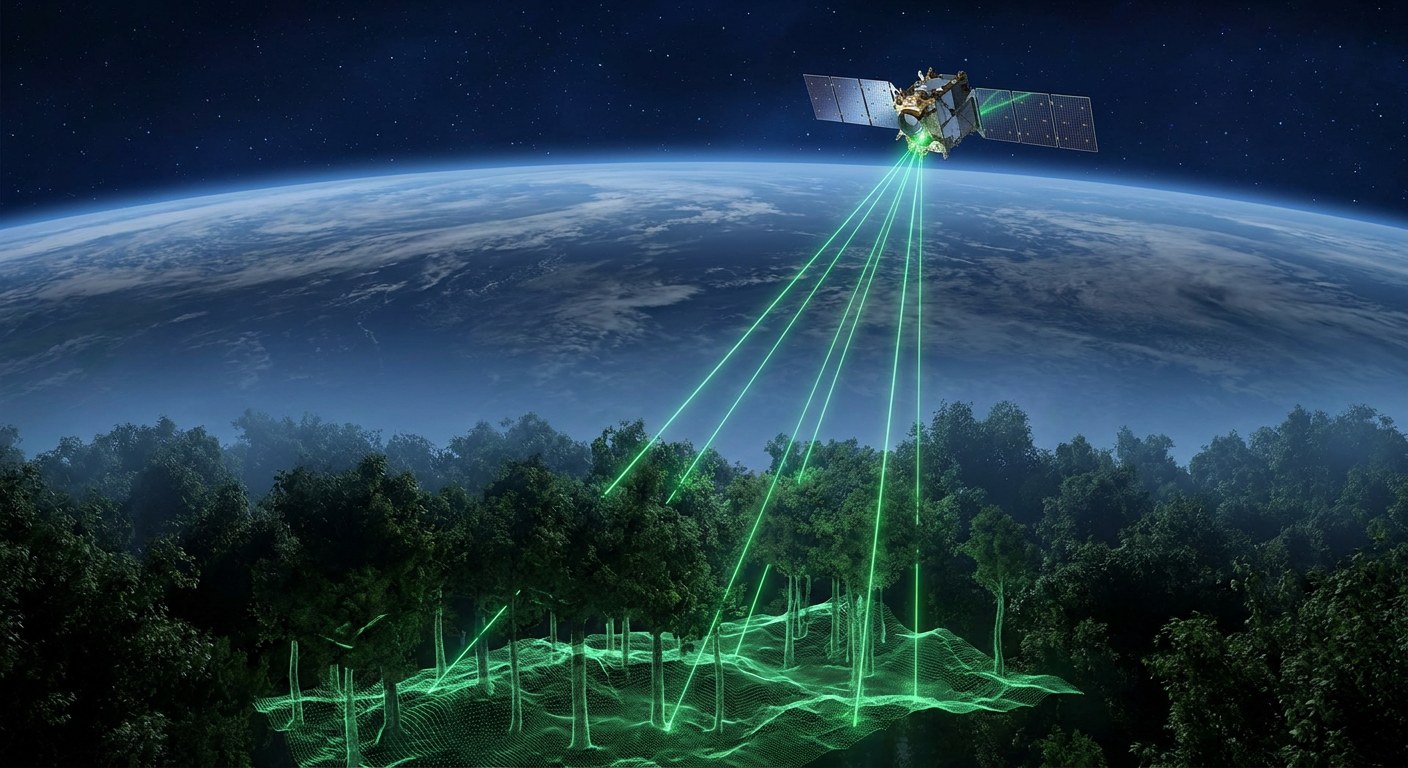
The newest instruments change strategy. Instead of firing a powerful pulse and waiting for a clear echo, they fire very frequent, low-energy pulses and detect individual photons with SPAD arrays (single-photon avalanche diodes), able to register a single quantum of light and time it with picosecond resolution. NASA’s ICESat-2, in orbit since 2018, uses exactly that scheme: its ATLAS instrument fires at 532 nanometres —green light, the wavelength that penetrates water best— about 10,000 times per second and splits the energy into six beams that sweep the ground in parallel strips.
The trade-off is statistics. With so little energy, most shots come back with no usable signal, and solar noise introduces false positives. The system compensates by stacking millions of shots and applying filters that separate signal photons from background by their temporal distribution. It is a very different way of measuring from classic lidar: less certainty per pulse, but global, repeatable coverage with small, cheap-to-operate instruments.
Between both extremes sits GEDI, NASA’s lidar on the International Space Station. It emits at 1064 nanometres in the near infrared, 242 pulses per second, and each pulse lights a footprint about 25 metres across: large enough to contain several trees, small enough not to blend ecosystems. The station orbits at 400 kilometres with a 51.6-degree inclination, so GEDI covers tropical and temperate latitudes —where most of the planet’s biomass lies— but not the boreal forests.
From tree to tonne of carbon
A point cloud does not say how much a forest weighs. Reaching biomass takes three linked pieces: the canopy geometry measured by lidar, an allometric model relating height and diameter to the dry mass of each species, and a field inventory to calibrate that model. Carbon projects combine all three and carry an uncertainty that is not small: a 10% error in mean height can translate into a much larger error in tonnes, and payments, verification and climate commitments hang on those tonnes.
That is why researchers insist on separating two things the press often conflates: measuring forest structure with growing precision, and converting that structure into carbon with bounded uncertainty. The first is advancing fast thanks to lasers; the second depends on field data that remain scarce, expensive and unevenly distributed between countries.
What the laser cannot do alone
Lidar has clear physical limits. Clouds block infrared and green light, so the wettest tropical regions —precisely those holding the most biomass— get the worst coverage. On steep slopes the footprint stretches and height is overestimated. In very dense canopies the signal dies before reaching the ground and the terrain model becomes an interpolation. And on highly reflective surfaces the detector saturates.
Hence observation programmes combine sensors instead of betting on one. ESA’s Biomass mission, due late this decade, will use a P-band synthetic aperture radar, with a 70-centimetre wavelength that penetrates the canopy and is sensitive to the water and wood in branches, not just their height. Radar suffers less from clouds but has poorer vertical resolution; lidar is precise in height but sees narrow strips. Combined, and anchored with field inventories, they produce the map neither would make alone.
The result is a discipline that no longer consists of looking at forests from the sky but of timing light: every photon that returns is a distance measurement, and every million measurements is an estimate of how much carbon a continent breathes. Precision, as almost always in data science, depends less on the instrument than on knowing which part of the number is measurement and which part is model.