

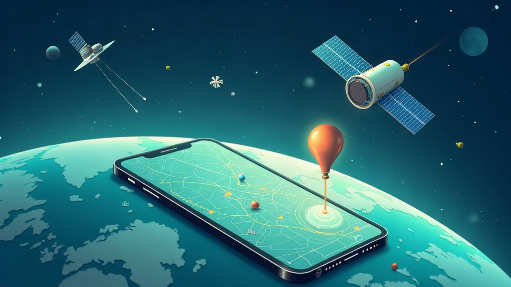
When you open the map on your phone to get somewhere, there is something you almost never think about: at that very moment, a network of dozens of satellites orbiting about 20,000 kilometres up is working to tell you exactly where you are. It is GPS, and it is one of the most used technologies on the planet, although almost nobody knows how it works. We explain it to you in five simple ideas.
What exactly is GPS?
GPS stands for Global Positioning System. It is a constellation of satellites launched by the United States that emit radio signals continuously. Your phone sends nothing: it simply listens and calculates where it is using those signals. It is a system designed so that anyone in the world can know their position within a margin of just a few metres.
The trick: measuring time
The principle is surprisingly simple. Each satellite emits a signal that includes its position and the exact time. Your phone compares the moment it receives the signal with the moment the satellite sent it. Since the signal travels at the speed of light, that small time difference translates into distance. With the distances to three satellites it is enough to place you on a plane, and with four you also have the altitude and the time. That is why it is called “triangulation”, although the correct term would be distance measurement.
The most precise clock in the world
For this to work, brutal precision is needed. An error of one thousandth of a second in measuring time translates into about 300 kilometres of error in position. That is why each satellite carries several atomic clocks on board, capable of keeping the time almost perfect for years. They are the most accurate clocks we have built, and they orbit the planet so that you can find the nearest coffee shop.
You are not alone: there are more systems
Although we call it GPS, today there are several systems of this type. Europe has its own Galileo, Russia has its own (GLONASS), China has BeiDou, and Japan and India contribute regional systems. The good thing is that your phone uses them all at once: the more satellites it sees, the more accurate its position is. That is why coverage has improved so much in recent years, especially in urban environments where buildings block the signal.
Beyond maps
GPS is much more than getting somewhere. It sets the exact time of power grids, synchronises telecommunications networks, helps precision agriculture and aviation, and allows high-speed trains to know exactly which point of the track they are on. Even your bank uses the time generated by these satellites to coordinate its operations. We live so used to it that we only notice its absence when the signal is lost.
The future: more satellites and more precision
The next generation of satellites and the reinforcement of systems such as Galileo promise to reduce the error from a few metres to just a few centimetres, even without the help of additional antennas. That will open the door to safer self-driving cars, to drones that deliver packages with millimetre precision and to cities that manage their traffic better. The next time you look at the map on your phone, remember: there are dozens of small atomic clocks in space working just for you.